

William Raynar, deep-dives into the world of fake cartography, vanishing regions and how deliberate mapping errors have shaped history.
The coordinates were exact: 22°33'39' N, 91°22'39' W. Open sea; still as glass. Nothing on the radar. Nothing on the sonar. And yet, just there, where the horizon buckled under heat, something was meant to be. For nearly four hundred years, the Island of Bermeja appeared on maps in the Gulf of Mexico, just off the Yucatán Peninsula. A single sentence, buried between trade routes and wind patterns: Una isla bermeja — color de sangre seca. Reddish island, the colour of dried blood. A speck of land where no one ever lived, but everyone seemed to agree existed.
Spanish cartographers inked it in the 1500s and it passed from one map to another, growing more real with each copy. Naval charts sketched it in meticulous strokes. Even in 1921, the Geographic Atlas of the Mexican Republic printed it plainly, confidently, as if daring someone to look closer. For centuries, it was a territorial claim, a line in a treaty, a shape that helped define empires. And then, it was gone. No storm. No record. No explanation. Just coordinates pointing to nothing. The maps no longer matched the sea. Had it existed, had it still existed, Mexico’s maritime borders would have stretched deep into oil-rich waters. Billions in reserves. Power, leverage, influence.
The questions started. Was Bermeja ever real? A clerical error, repeated until it became fact? Or was it erased deliberately by those with something to gain from its disappearance? In 1997, the Mexican government launched an expedition to find it. Nothing. Twelve years later, they tried again, this time with deep-sea scanners and international observers. Still nothing. No reef. No elevation. No sunken plateau. Some whispered tectonic shifts. Others, the CIA. There were classified documents, lost archives, altered scans. Somewhere between conspiracy and negligence, the island slipped through the cracks. Either way, it had served its purpose: securing oil rights in disputed waters. Today, the Gulf of Mexico is increasingly referred to as the Gulf of America, but not all maps agree. Names, like islands, can vanish.
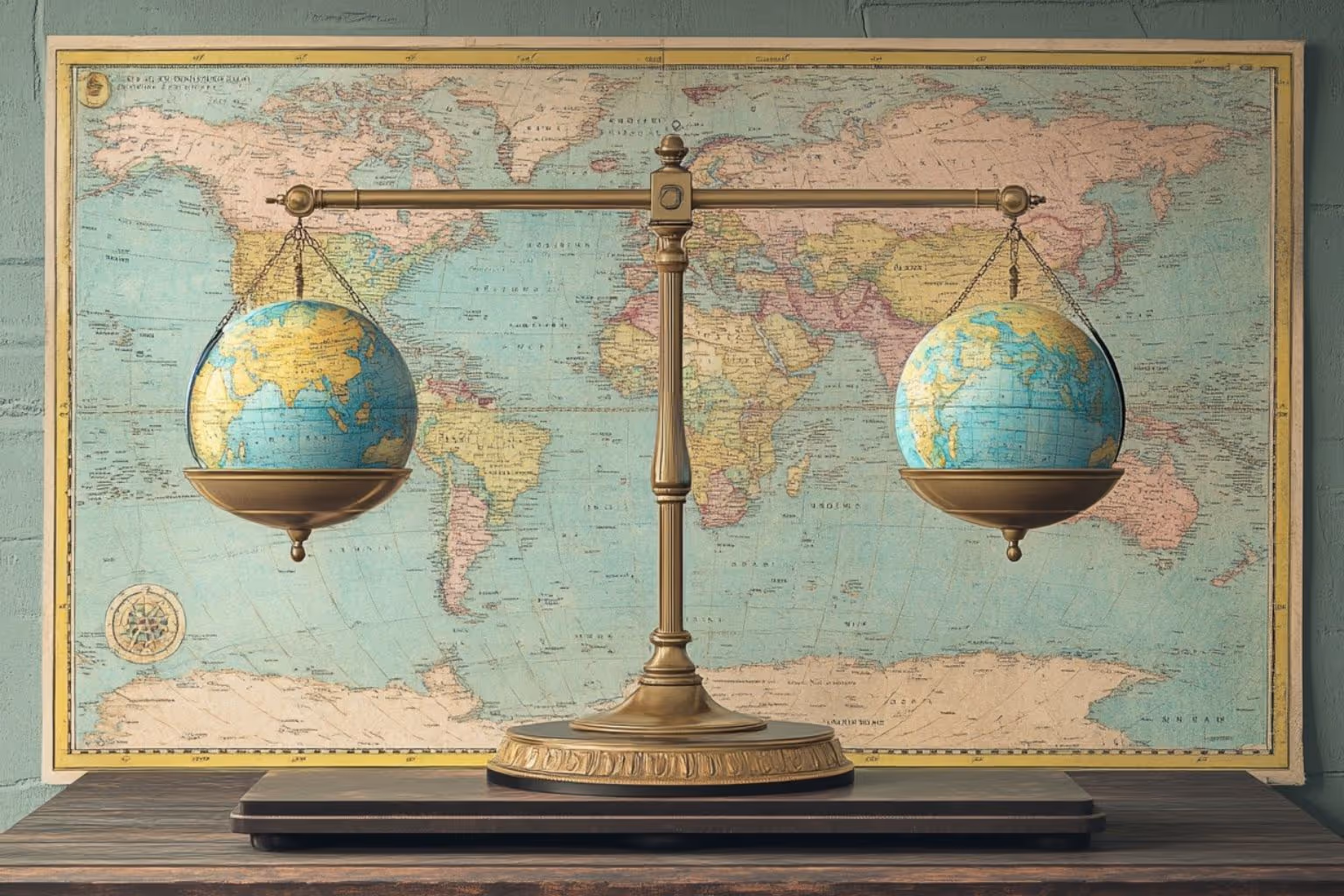
As demonstrated by Bermeja, maps aren’t just technical tools, they’re political too. Similarly, Sandy Island was first “discovered” by a whaling ship in 1876 and removed only in 2012, when Australian scientists confirmed there was nothing but deep blue ocean. Yet for decades, it had extended France’s fishing zones and national claims. A made-up island with real economic value. Elsewhere, The Soviet Union spent decades manipulating public maps; shifting cities, moving roads, deleting entire regions. Nuclear silos were nowhere to be found.
Even today, borders are drawn and redrawn depending on who’s holding the pen. In China, Taiwan appears as a province. In India, parts of Pakistan disappear. Google Maps quietly changes borders depending on where you're logged in from. Other reasons for altering maps include protecting intellectual property. For instance, cartographers have long used so-called “trap streets” or invented towns and Phyllis Pearsall, founder of the A-Z Map Company, is said to have included subtle errors in her street maps of London to catch would-be plagiarists.
Then there are the distortions we fabricate unintentionally. Our brains are wired for flat surfaces, but the world isn’t flat. A mountain isn’t just scenery; it adds time and effort to a journey. So, the straight line becomes wishful thinking. Alaska and Russia seem continents apart, yet at the Bering Strait, they’re just 82km from each other. Or take Greenland, which most of us grew up thinking is bigger than Africa (it’s not: Africa is 14 times larger). The Mercator projection, used in classrooms and cockpits alike, stretches everything away from the equator (flattening a sphere was never going to end well). Distance gets twisted too. On a flat map, flying from Seattle to Frankfurt looks like a straight shot. But the shortest path arcs north, over the pole, not across the page.

Maps then, have always been instruments of imagination as much as information. In the 19th century, British explorers etched the Mountains of Kong across West Africa. These peaks never existed, yet they appeared in atlases for nearly a hundred years. More recently, in 2022, French Twitter user Gaspard Hoelscher added Listenbourg, a fictional peninsula, to the Iberian coast. Within days, it had a flag, a government, a capital (Gaspardo), a history, even a Spotify anthem. For a fleeting moment, it was more visible online than real places like Transnistria or South Ossetia.
He's not the only one with a dream of creating a country. In 2015, Vít Jedlička, a Czech libertarian claimed a patch of disputed land between Serbia and Croatia and called it Liberland (it has a flag, a motto and plenty of digital citizens) while tech entrepreneur Balaji Srinivasan wants to build a borderless “network state” bound by shared values and blockchain. But here’s the catch: it’s not enough to claim a country. You need others to agree it exists. That’s what separates New Zealand from Nagorno-Karabakh. According to international law, you need four things to become a state: a defined territory, a population, a government, and the ability to talk to other states. Recognition, not land, is the currency of sovereignty. Maps may look solid, but they’re often stories. Sometimes they tell us what’s there. Sometimes, as with Bermeja, they tell us what we want to see.
William Raynar
THEMATIC RESEARCH ADVISOR AT CAPE CAPITAL